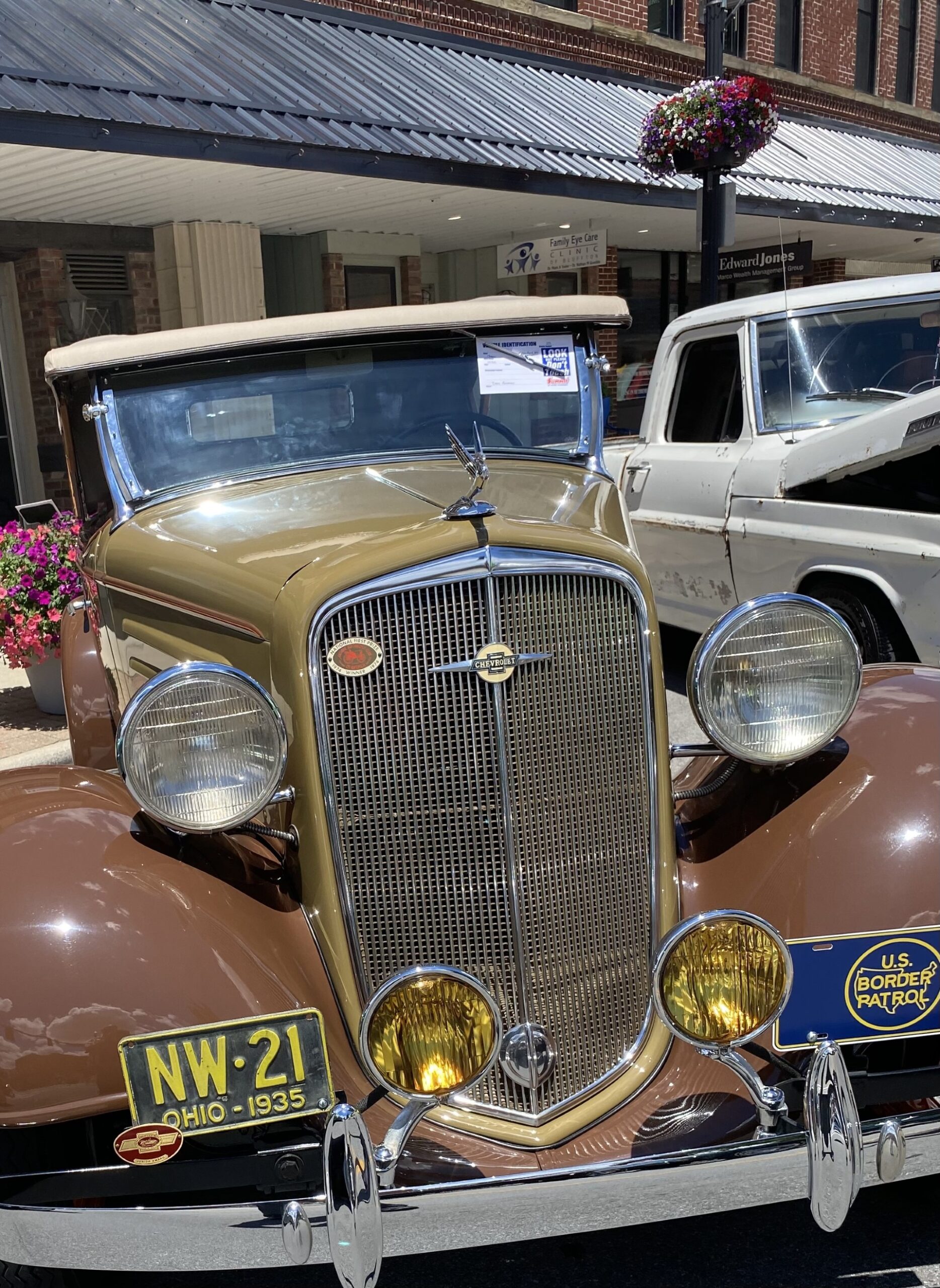
Border Patrol car, circa 1930’s
Catching up on the summer… In late May, I had a house painting mishap, falling off a ladder from pretty high up. I broke my right wrist pretty badly, had surgery, and they put a plate in. I’ve been a bit hamstrung as a result, especially since I’m right-handed. But I soldiered on with a bit of newspaper reporting. Including writing a story about a local man who has this 1935 classic car, which was also the first car model used for U.S. Border Patrol. (Previously, they had just used horses.) While the car is cool enough, the border patrol thing is mixed for me, and our campaign. Especially now. The immigration policy currently in place, with the border virtually closed, and illegal immigrants being sent back, en masse, is unconscionable, if not plain evil. We did three Southern Border Tours, including meeting with a good number of illegal immigrants, who, for the most part, had come here, often with their families, to escape extreme cartel violence, abject poverty, political persecution… From these interviews, and much more, we crafted a Hispanic Immigration policy, which we think is much more in line with the gospel message, and just sound human decency.